Welcome to Maps of the San Luis Rey Watershed! A site is dedicated to archiving maps of the San Luis Rey Watershed.
Our Watershed
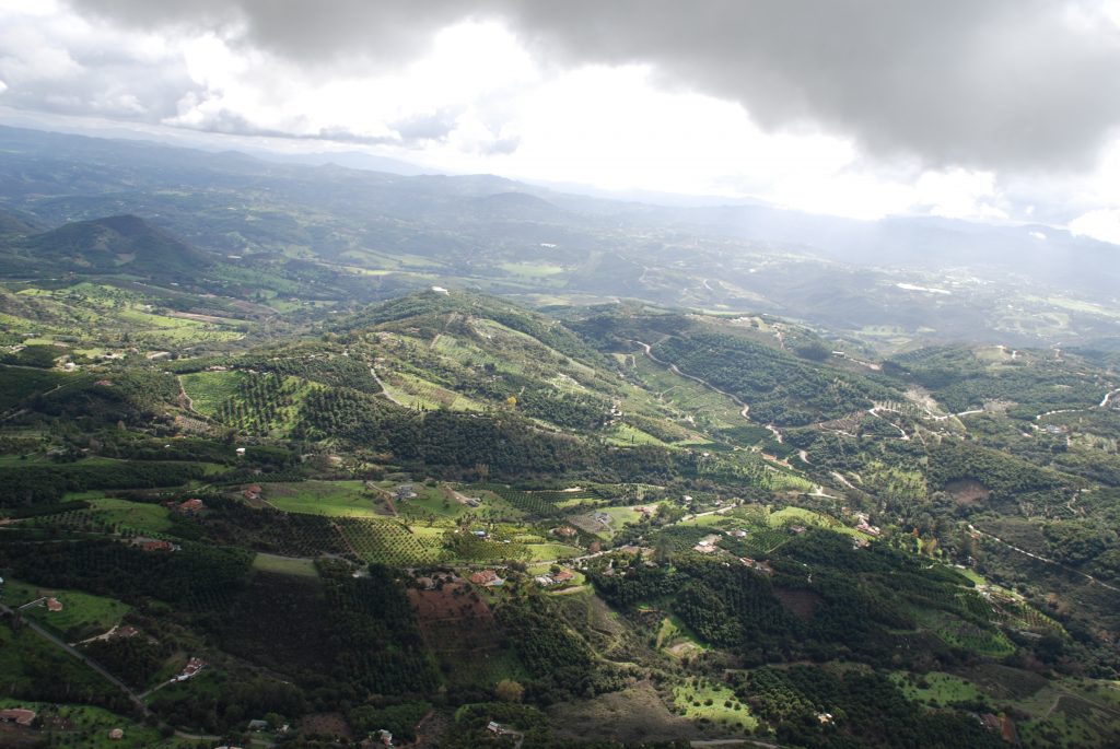
This beautiful, wild watershed is located in northern San Diego County, covering roughly 360,000 acres (562 square miles). This makes it the largest watershed completely within San Diego County. It spans from Hot Springs Mountain (at 6,535 feet, the highest peak in San Diego County) to the east, all the way to the lovely Oceanside beaches to the west. In between these two points, the San Luis Rey River flows 55 miles before emptying into the Pacific Ocean. This river migrates between surface water flow and sub-surface water flow, depending on where it is within our watershed.
About
The San Luis Rey (SLR) Watershed Council is a 501(c)(3) nonprofit organization that strives to protect the natural resources within this beautiful watershed. It is made up of many different stakeholders, all of whom live, work, or play within the San Luis Rey Watershed. Members range from individuals who just love to explore our hiking trails and beaches, to organizations that work to protect the natural and cultural resources of the San Luis Rey Watershed.
Contact
San Luis Rey Watershed Council
25060 Hancock Ave, Suite 103-407
Murrieta, CA 92562